HydroAccess
Description
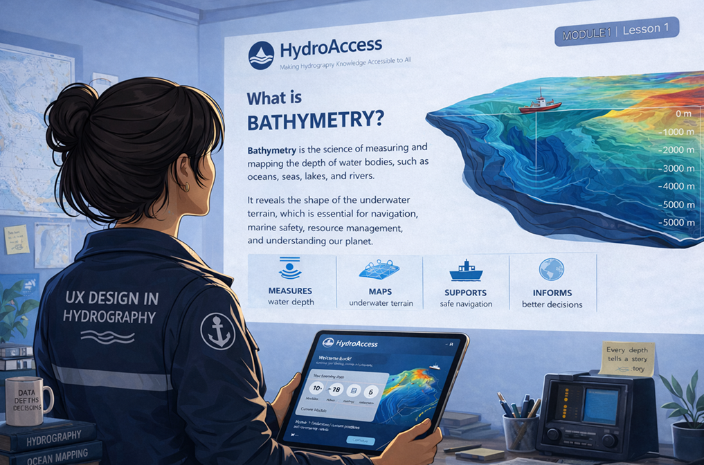
Monitoring lake sedimentation, tracking aquatic habitat evolution, and preventing coastal erosion require timely and accurate hydrographic information. Yet, riverine communities across Canada (both Indigenous and non-Indigenous) often lack access to hydrographic expertise and remain dependent on private companies or government agencies for data acquisition and management. The HydroAccess project addresses this challenge by creating an educational program tailored for non-experts within these communities. Its primary objective is to democratize hydrospatial knowledge and empower local actors to collect, process, and interpret bathymetric data for informed decision-making. The training will consist of video modules and supporting materials designed to: (1) Plan and execute basic hydrographic data acquisition, including sensor selection and integration; (2) Process basic hydrospatial data using open-source analysis tools; (3) Generate maps and 3D models for environmental monitoring and planning. To ensure relevance and usability, HydroAccess adopts a participatory approach. The project team collaborates with riverine communities to identify needs and integrate local experiences into the training content. Three modes of participation are offered across different phases of the project, fostering co-design and knowledge exchange. By bridging the gap between advanced hydrographic techniques and community-level application, HydroAccess aims to strengthen autonomy in managing aquatic environments and promote sustainable stewardship of Canada’s waterways.